
Report makes recommendations for safer routes to schools
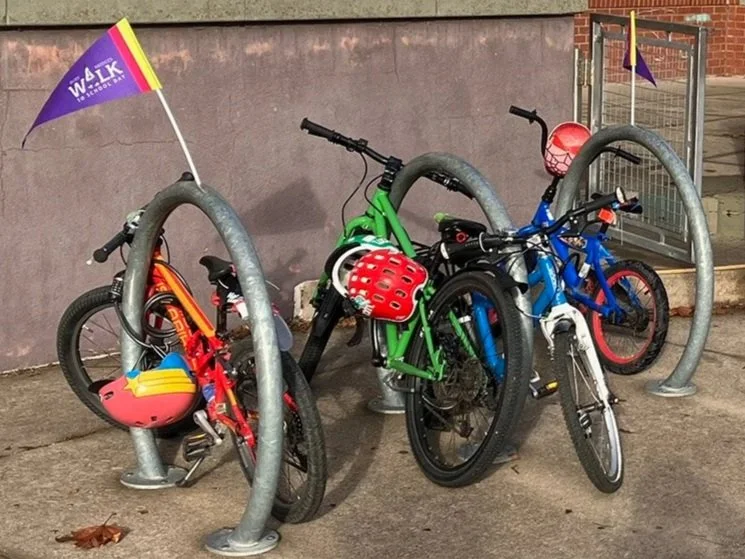
Bike racks at Harding School.
By Bill Wood
Last year, the City of El Cerrito contracted with Toole Design to conduct a Safe Routes to School study for southern El Cerrito schools, covering Fairmont Elementary, Harding Elementary, and El Cerrito High School. El Cerrito/Richmond Annex Walk & Roll received the final report via a public records request for the final report, which we are sharing with the public.
The full Toole report and recommendations provide hard data justifying the need for improving the bikeability and walkability of this area, as well as detailed recommendations that, if enacted, would be transformative for our youth’s ability to commute to school without cars — which would reduce traffic for everyone. The Toole report complements a Safe Routes to School report by UC Berkeley SafeTREC for northern El Cerrito Schools, including Madera Elementary and Korematsu Middle schools.
What was found
The study found that traffic speeds near schools are routinely 30+ miles per hour, even where limits are 25 miles per hour, and daily traffic volumes are far higher than what feels safe for biking. Observations during school drop-off and pick-up showed double parking, midblock crossings, and frequent conflicts between cars, people walking, and people biking. Student surveys confirmed what many of us already know: fast traffic and missing bike infrastructure are major barriers to walking and biking. Survey results indicated 70 percent of high schoolers currently use private cars to commute to school, and 50 percent of respondents indicated various barriers (safety, traffic, poor sidewalks) currently prevent them from strolling, rolling, or bicycling to school. Respondents also highlighted the need for daylighting of curbs near El Cerrito High School, saying it is extremely dangerous to bike away from the school with vehicles parked right up to the only school exit.
What’s being proposed
The Toole report’s recommendations call for a connected network of safer streets, including:
Protected (Class IV) bikeways on Stockton (San Pablo to the Ohlone Greenway), Fairmount (Ohlone Greenway to Ashbury), Kearney (Moeser to Fairmount), and Ashbury (Moeser to Fairmont and beyond)
Neighborhood Slow Zones on residential streets like Eureka, Liberty, and Lincoln, with speed humps, curb extensions, and 20 mile per hour target speeds
Much safer crossings, including curb extensions, high-visibility crosswalks, flashing beacons, crossing guards, and leading pedestrian intervals at signals
Better school frontages with clearer loading zones and less chaos during peak hours
These changes aren’t just for school travel—they would make it easier and safer for everyone to bike, walk, and roll around South El Cerrito.
Why this matters
Currently, only one public school in El Cerrito is connected to our city’s bicycle infrastructure (Fairmont), representing roughly 18 percent of our students. If enacted, these plans combined with the Richmond Street Complete Streets Improvement Project (which will connect Korematsu Middle School next year), would result in an astonishing ~88 percent of students going to schools connected with real, safe, bike infrastructure. The next step is turning plans into reality — and community support will be key.
Moving forward: Volunteer crossing guards needed
If you or someone you know is interested in being a volunteer crossing-guard at any of our city’s public schools during drop off and pickup (about 30 minutes, two times per school day), please write to info@ecrawalkroll.org and we will help get you in contact with the right people. The report specifically calls out the need for crossing guards for pedestrian safety, so let’s get that done NOW.
Sign up for the ECRA Walk & Roll email list to receive monthly newsletters (and sometimes an update or two) about our efforts to make local streets safer for all, especially kids on their way to school!